pennmom
Bear
 Chief Ranger
[TI0] ALWAYS BE YOURSELF, UNLESS YOU CAN BE A UNICORN. THEN ALWAYS BE A UNICORN!
Posts: 19,201 
|
Post by pennmom on Feb 28, 2021 13:53:46 GMT
Since I'm from Ohio I thought I'd share some interesting Parks & Nature Preserves to visit in Ohio:
Serpent Mound (Bratton Township)
Fort Ancient Nature Preserve
Earthworks
 

 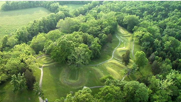
   
Serpent Mound (Bratton Township)
Serpent Mound is an internationally known National Historic Landmark built by the ancient American Indian cultures of Ohio. It is an effigy mound (a mound in the shape of an animal) representing a snake with a curled tail. Nearby are three burial mounds—two created by the Adena culture (800 B.C.–A.D. 100), and one by the Fort Ancient culture (A.D. 1000–1650).
Thousands of years ago, Native Ohioans populated the landscape with mounds and massive earthworks. In the late 19th century, Harvard University archaeologist Frederic Ward Putnam excavated Serpent Mound, but he found no artifacts in the Serpent that might allow archaeologists to assign it to a particular culture. Based largely on the nearby presence of Adena burial mounds, later archaeologists attributed the effigy to the Adena culture that flourished from 800 B.C. to A.D. 100. This theory on the site’s origin was accepted until a 1991 site excavation used radiocarbon dating to determine that the mound was approximately 900 years old. This would suggest that the builders of the Serpent belonged to the Fort Ancient culture (A.D. 1000–1500). In 2014, another team of archaeologists presented new radiocarbon dates for the Serpent suggesting that it was built by the Adena culture at around 300 B.C. More work is needed to clarify the age of Serpent Mound.
Fort Ancient Nature Preserve Website

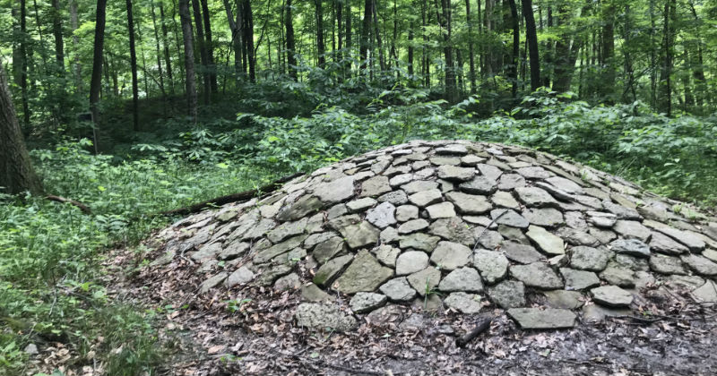 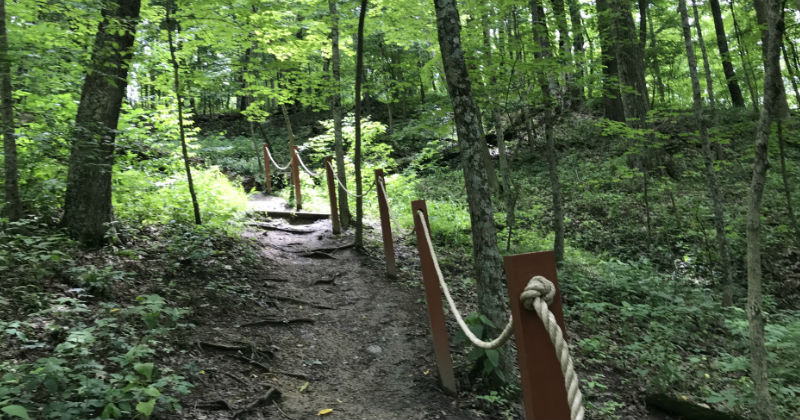    
It could soon be a World Heritage Site (and one of the few in the U.S.)
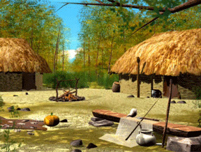
The significance Fort Ancient has to this region is so great, that the site could soon become a World Heritage Site — joining the likes of only 23 other World Heritage Sites in the U.S., including Yosemite National Park.
|
|
pennmom
Bear
 Chief Ranger
[TI0] ALWAYS BE YOURSELF, UNLESS YOU CAN BE A UNICORN. THEN ALWAYS BE A UNICORN!
Posts: 19,201 
|
Post by pennmom on Feb 28, 2021 14:30:31 GMT
FYI: I used to live about 10 minutes away from Fort Ancient & the Mounds which is also a huge Nature Preserve. I even went to Camp Kern when I was in 6th grade! Camp Kern is sponsored by the YMCA campkern.smugmug.com/
We still ride our bikes through this area (vroom, vroom not clink, clink bikes) because it has gorgeous views, winding roads hills and dales, and lots of nature stops like an old covered bridge, tons of canoe rentals, parks galore, the Little River Cafe, a historic bar/restaurant with lots of outdoor seating and the historic  's Staircase Pro Hillclimb. 's Staircase Pro Hillclimb.
Little River Cafe
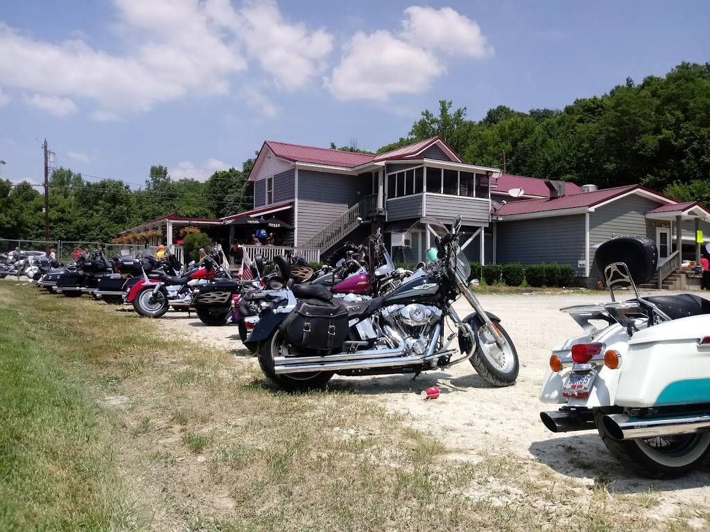 
 's Staircase in Orgonia, Ohio 's Staircase in Orgonia, Ohio
Dayton Motorcycle Club Hillclimb
  
Ohio's Tallest Bridge (located near Fort Ancient)
Jeremiah Morrow Bridge
The Jeremiah Morrow Bridge is the name for a pair of concrete box girder bridges built between 2010 and 2016 which carry Interstate 71 over the Little Miami River gorge between Fort Ancient and Oregonia, Ohio. The bridges are named for former Governor of Ohio Jeremiah Morrow and is the tallest bridge in Ohio
Ohio’s tallest bridge gets design upgrade
The bridge, which took
two years to construct in the early 1960s and cost more than $5.04 million, will take about five years to rebuild at a cost of more than $88.1 million. (it actually took 104 million, hmm I wonder why?)
Explosives fail to bring down Ohio’s tallest bridge
Four spans were to be imploded, Two of the spans were successfully imploded, and a third span was demolished when explosive charges were set and detonated a second time.
On the final span, the steel structure heading north and east away from the Little Miami River, only half of the charges detonated on the first try. A third attempt to demolish the remnants of the state’s tallest bridge failed Sunday so crews will use cranes to dismantle the former Jeremiah Morrow Bridge in Warren County. (you only had 1 JOB!)
First Attempt
Second attempt
Third Attempt
|
|
joybelle
Raccoon
 Park Ranger
Posts: 2,350
|
Post by joybelle on Feb 28, 2021 15:42:15 GMT
WOW..what a beautiful place you live in pennmom,! Wonderful pics! :-* |
|
pennmom
Bear
 Chief Ranger
[TI0] ALWAYS BE YOURSELF, UNLESS YOU CAN BE A UNICORN. THEN ALWAYS BE A UNICORN!
Posts: 19,201 
|
Post by pennmom on Mar 2, 2021 16:06:05 GMT
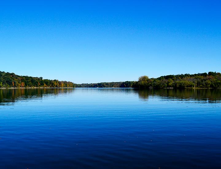
Caesar Creek State Park
Ceasar Creek State Park
Caesar Creek State Park is highlighted by clear blue waters, scattered woodlands, meadows and steep ravines. The 3,741-acre park offers some of the finest outdoor recreation in southwest Ohio including boating, hiking, camping and fishing.
The park area sits astride the crest of the Cincinnati Arch, a convex tilting of bedrock layers caused by an ancient upheaval. Younger rocks lie both east and west of this crest where some of the oldest rocks in Ohio are exposed. The sedimentary limestones and shales tell of a sea hundreds of millions of years in the past which once covered the state. The park's excellent fossil finds give testimony to the life of this long vanished body of water.
The forests of the area are comprised of over 65 species of plants. Several major communities thrive in the area. A northern flood plain forest is found in the valley, while mixed associations of oak-hickory and beech-maple woodlands clothe the ridges and hillsides. Red-tail hawk, white-tail deer, raccoon, red fox and box turtle make the park their home.

 
|
|
pennmom
Bear
 Chief Ranger
[TI0] ALWAYS BE YOURSELF, UNLESS YOU CAN BE A UNICORN. THEN ALWAYS BE A UNICORN!
Posts: 19,201 
|
Post by pennmom on Mar 2, 2021 16:20:06 GMT
Caesar Creek Spillway

  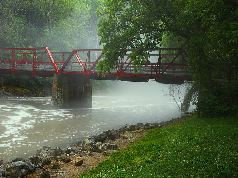
Caesar Creek Spillway
Caesar Creek State Park is a public recreation area located in southwestern Ohio, five miles east of Waynesville, in Warren, Clinton, and Greene counties. The park is leased by the State from the U.S. Army Corps of Engineers, who in the 1970s erected a dam on Caesar Creek to impound a 2,830-acre lake. The total park area, including the lake, is 7,530-acre
The dam is an earth and rock fill dam 165 feet high and 2,750 feet long. The Army Corps site is an area of 10,550 acres. The watershed above the dam has an area of 237 square miles. Construction started in 1971 and was finished in 1978.
The Army Corps site states:
"Congress authorized Caesar Creek Lake under the Flood Control Act of 1938. The Louisville District of the U.S. Army Corps of Engineers designed, built, and operates Caesar Creek Lake.
"During the fall and winter months, the lake level is lowered to prepare for the storage of heavy spring rainfall. If heavy rains occur, surface water runoff is stored in the lake until the swollen streams and rivers below the dam have receded. Once they can handle the discharge of the stored water without damage to lives or property, the extra water is released.
Flooding of New Burlington
The construction of the Caesar Creek Lake flooded the small farming village of New Burlington, Ohio in 1973. The history of the community was collected through stories, letters, and journals in the book New Burlington: The Life and Death of an American Village by John Baskin.
|
|
pennmom
Bear
 Chief Ranger
[TI0] ALWAYS BE YOURSELF, UNLESS YOU CAN BE A UNICORN. THEN ALWAYS BE A UNICORN!
Posts: 19,201 
|
Post by pennmom on Mar 2, 2021 16:46:02 GMT
Fossils of Cesar Creek Caesar Creek: Family Friendly Place to Fossil Hunt Caesar Creek: Family Friendly Place to Fossil Hunt
Caesar Creek State Park - Near Waynesville, Warren County, Ohio ~ 449 to 445 Million Years Old
Upper Ordovician
Waynesville, Liberty, and Whitewater formations
Why Are There Fossils Here? About the Geology of Caesar Creek

This map shows the Earth during the Ordovician time period. The approximate location of Ohio is marked by the star. It sits in a shallow sea along the continent Laurentia (which would become North America).
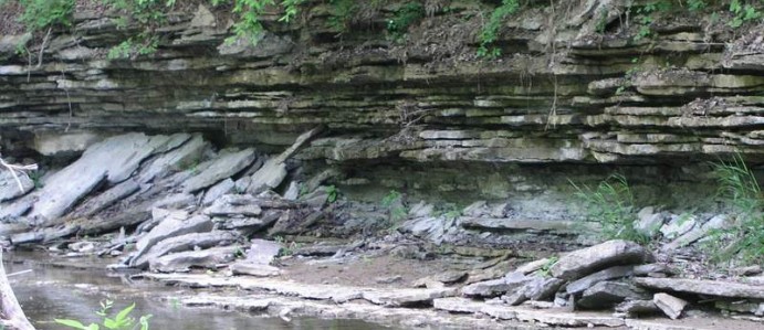
The Caesar Creek Spillway was created by the U.S. Army Corps of Engineers to aid in flood control. When they blasted it out, they exposed layers upon layers of fossil bearing Ordovician limestones and mudstones that stretch for football fields!
Ohio in the Ordovician
During the late Ordovician, around 447 million years ago, most of North America, including Ohio, was covered by a shallow sea. Proto North America, or Laurentia, was just below the equator and experienced a very tropical climate.
Depositional Environments
Sediments would accumulate on the sea floor and eventually form the intermittent bands of shales/mudstones and limestones that we see today.
The mudstones represent deeper waters, while the limestones represent shallower waters (Hansen, 1997). Many of the thin limestone beds represent storm events where sediments washed in from the Taconic mountains to the east. These storm deposits are called tempestites (Hansen, 1997).
Over time, these sediments, along with any trapped and dead organisms, accumulated into deep layers. Pressure then turned these sediment layers into the mudstones and limestones we see today. Many of the organisms trapped in these sediments can now be found as fossils in these layers.
A Preserved Reef
The fossils record an ancient Ordovician reef system. Preserved in this reef are many types of corals, brachiopods (sort of like clams), trilobites, bryozoans, crinoids, and cephalopods. Although early jawless fish existed at this time, Hansen notes there are no recorded fish fossils from this area. He suggests since Ordovician fish fossils are found in nearshore environments elsewhere, the Cincinnatian rocks may have been too far offshore and therefore not the right environment for fish to inhabit (Hansen, 1997).
The Cincinnati Arch
Normally, these Ordovician rocks that are exposed all around Cincinnati would still be buried deep underground. However, during the Ordovician period, a volcanic island arc collided into Laurentia. This created the Taconic Mountains to the east. The Taconic mountain building event (Taconic Orogeny) caused buckling and folding of the Earth's crust. The area under Ohio buckled upwards. The whole Cincinnati region slowly uplifted, lifting these Ordovician rocks to the surface. This geological feature is called the Cincinnati Arch.
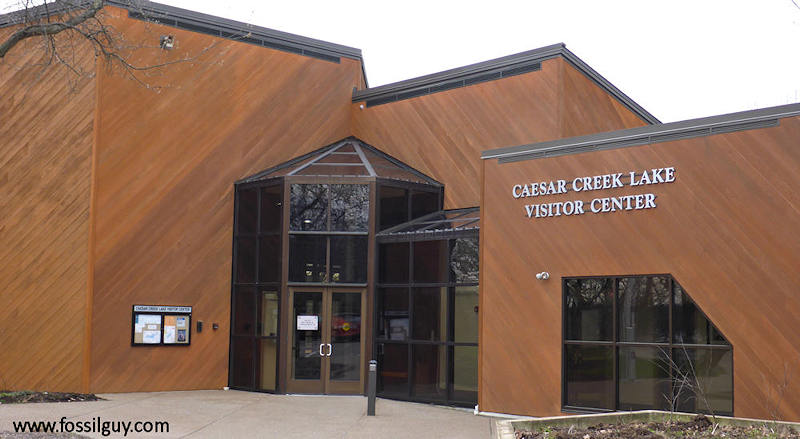
Fossile Hunting is only permitted with a permit (available at the Nature Center)
Visitor Center: How to get a Permit:
Caesar Creek State Park is a big park. The permits are at the Caesar Creek Lake Visitor Center. Be sure to go to the correct place, or you'll be driving around the lake for a half hour. The Caesar Creek Visitor Center is marked on the map above. It's just north of the Spillway.
Once there, simply go in and ask for a fossil hunting permit. They will go over all the do's and don'ts with you, you will initial it and sign off, then you can drive to the spillway to fossil collect. The US Army Corps of Engineers will also give you a nice little "Common Fossils" pamphlet that describes the types of fossils you will find.
When at the center, be sure to spend some time looking at all the Ordovician fossils. They have some nice displays!
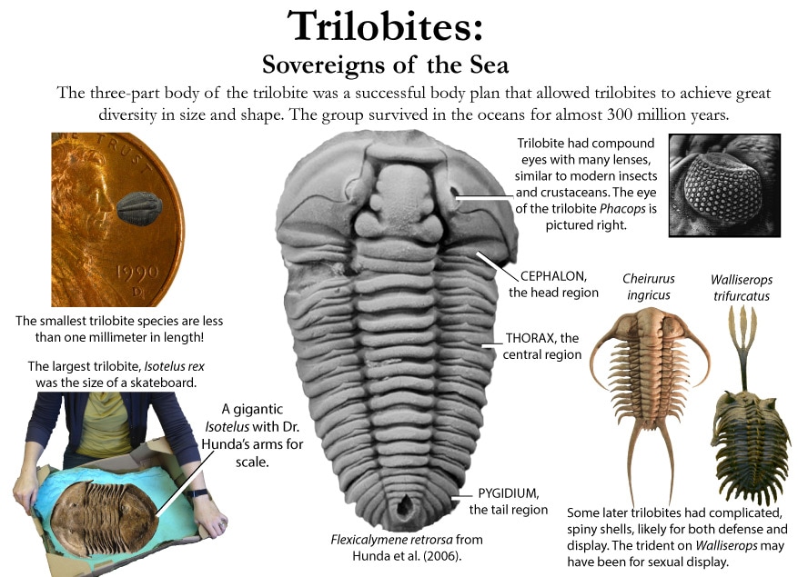
  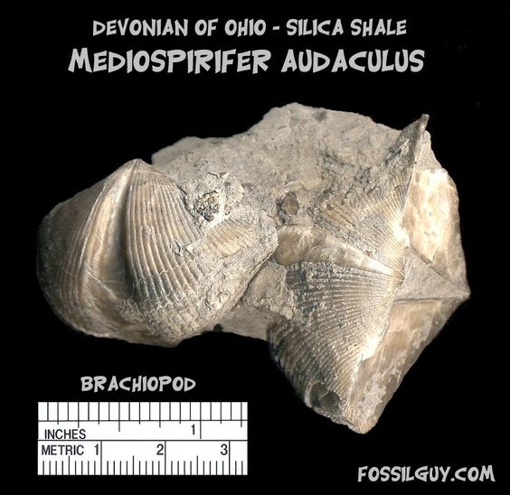

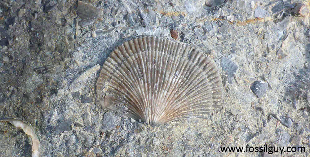
Types of Fossils:
Fossils undergo a variety of different fossilization processes, depending on the characteristics of the particular organism. There are various levels of fossil preservation, each containing its own clues pertaining to the organism. Fossilization at the cellular level varies in all organic compounds since not all cellular types are equally resistant to decay and decomposition. The same hold at the tissue level, where some tissue types are more susceptible to fossilization. The other two kinds include the organ level and organism level which provide information in the field of morphology and biology of the ancient organism. Although there are an endless number of categories, we will focus on the broader mode of classification.
Permineralization: is the occurrence of decay of organic substances and filling of mineral material into every cavity of the organism, still retaining most information about the fossil.
Compressions: the two-dimensional compression which retains organic matter of the organism.
Impressions: the two-dimensional imprint most commonly found in silt or clay, without organic material present.
Casts & Molds: caused by deposits of sediment in cavities of organism, resulting in a three dimensional model.
Compactions: preservation of organic material with slight volume reduction.
Molecular fossils: deals with chemical data, preserving organic material, but providing no information concerning the structure of the organism.
Freezing: ideal fossils that are rare, everything up to internal organs are preserved in  storage. storage.
Amber: biological specimen that is encased in the hardened resin of a tree, in which the entire body may be preserved.
Drying & Desiccation: fossils that have been thoroughly dried.
Wax & Asphalt: almost as good as freezing, but with the usage of natural paraffin.
Coprolites & Gastroliths: these categories deal with the indigestable remnants of meals.
Trace fossils: typically formed when an organism moves over the surface of soft sediment and leaves an impression of its movement behind.
|
|
pennmom
Bear
 Chief Ranger
[TI0] ALWAYS BE YOURSELF, UNLESS YOU CAN BE A UNICORN. THEN ALWAYS BE A UNICORN!
Posts: 19,201 
|
Post by pennmom on Mar 2, 2021 17:01:59 GMT
Cincinnati Arch
The Cincinnati Arch is a broad, low geologic structure that brings Ordovician rocks to the surface near Cincinnati, Ohio, and Nashville, Tennessee, where it’s called the Nashville Dome. This was not a mountain range, nor even a land area all that often, but it did separate the low-lying basins to the east – the Appalachian Basin – from those to the west, the Michigan and Illinois Basins.
The arch began to form in Middle Ordovician time, around 470 million years ago. If and when the arch broke the surface of the sea, it meant that marine sediments typical of the Ordovician in this area would not have been deposited. It would be an unconformity in the making, and that gap in deposition continued up into the Silurian and Devonian Periods. How do we know the alternative isn’t the correct story – what if those rocks were deposited, but were later eroded off? That would give us the same appearance today. To figure that out, you have to look at the little picture, the details, as well as the overall picture of what looks like a broad uplift.
When you study the rocks, it appears that it was a combination of both processes – non-deposition as well as erosion. When you think about it, that shouldn’t come as a surprise. Land areas today are subject to both of those processes at the same time, and of course there is some deposition of sediment on land as well – just not as extensive and continuous, usually, as the piles of sediment we find in ocean basins.
Over time during the Paleozoic Era, the Cincinnati Arch seems to have gone up and down several times. Or, alternatively, sea level rose and fell several times. Or, most likely, some combination of both happened. It’s all relative.
  
 
|
|
pennmom
Bear
 Chief Ranger
[TI0] ALWAYS BE YOURSELF, UNLESS YOU CAN BE A UNICORN. THEN ALWAYS BE A UNICORN!
Posts: 19,201 
|
Post by pennmom on Mar 3, 2021 20:24:59 GMT
Hueston Woods State Park
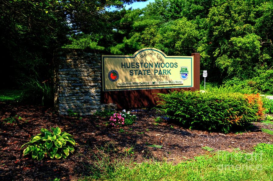
Hueston Woods State Park is actually located in two counties, Butler and Preble counties, and is nearly 3,000 acres of natural resources for outdoor recreation, such as hiking, fishing, canoeing, and unique to this region, fossil hunting. The park surrounds 625-acre Acton Lake.
The limestone bedrock of the area is evidence of an ancient shallow sea that once covered Ohio. Much of the limestone is the magnesium-bearing type called dolomite. Fossilized remains of ancient marine animals are so abundant that people from all over the world come to Hueston Woods to collect them.
The rich soils of the area are part of the glacial till plains of western Ohio. Early settlers cleared the dense woodlands to farm the fertile soil. Nearly all of Ohio's original forest has since vanished. However, one unique stand of virgin timber remains at Hueston Woods. Over 200 acres have been protected and provide visitors with a glimpse of Ohio's primeval forest. Stately beech and sugar maple tower above the abundance of ferns, wildflowers and other woodland species.
In 1967, the 200-acre forest was designated a National Natural Landmark by the National Park Service.
HISTORY OF THE AREA
The history of the Hueston Woods area dates to 1797. Matthew Hueston, while serving with General "Mad" Anthony Wayne, observed the fertile soil in southwestern Ohio. When Indian resistance subsided, Hueston began to buy land in what is now Butler and Preble counties. Hueston, one of Ohio's earliest conservationists, preserved a portion of his forested land as did his descendants.
When the last of the Huestons died in the 1930s, Morris Taylor, a conservationist from Hamilton, purchased the woods and held it in trust until state funds could be allocated for its purchase. Cloyd Acton, a Preble County legislator, influenced the state legislature to appropriate funds to acquire the former Hueston land in 1940. His proposal became reality in September 1941 when the Hueston property was bought by the state and officially designated as a state forest.
In 1945, money was appropriated for the purchase of additional land. The Oxford Honor Camp was established in 1952. This camp, set up under the supervision of the Ohio Board of Corrections, housed honor status inmates for the next twelve years. Buildings of the former camp now serve as the park office, meeting rooms, and nature center.
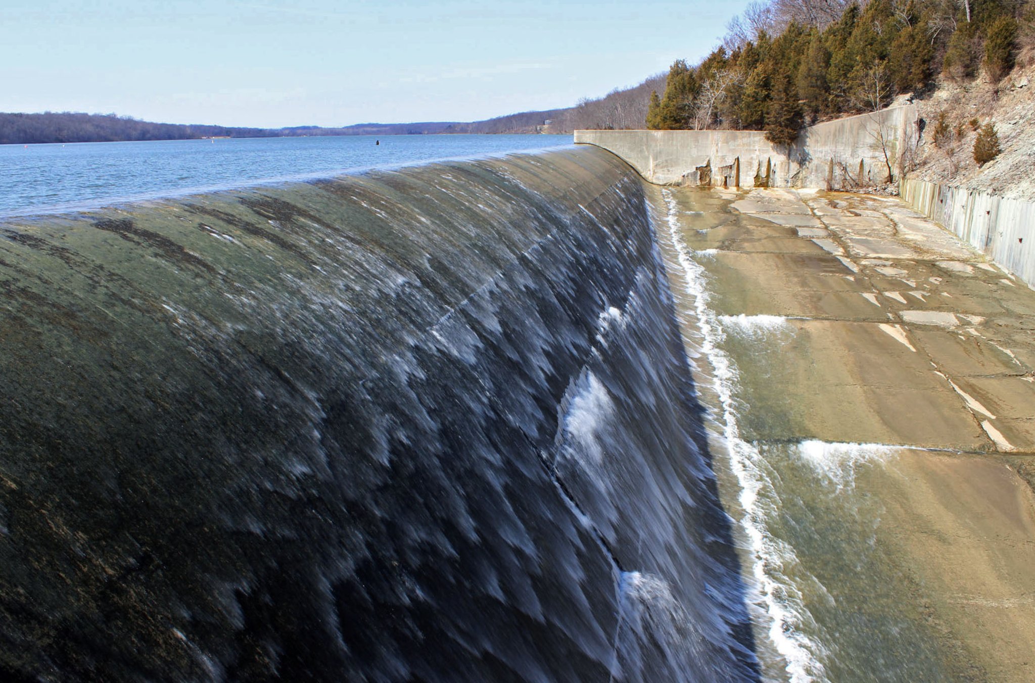
Early in the summer of 1956, the 1,200-foot earth fill dam across Four Mile Creek was completed, and the following year Acton Lake was impounded. Shortly thereafter Hueston Woods was dedicated as a state park.
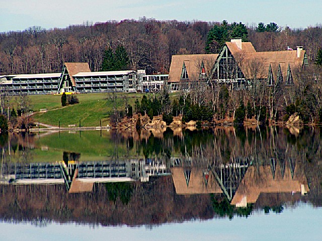
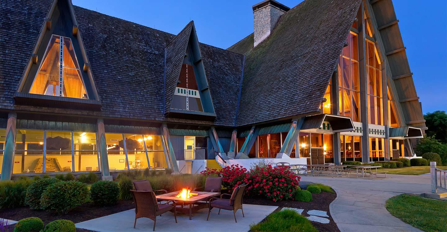
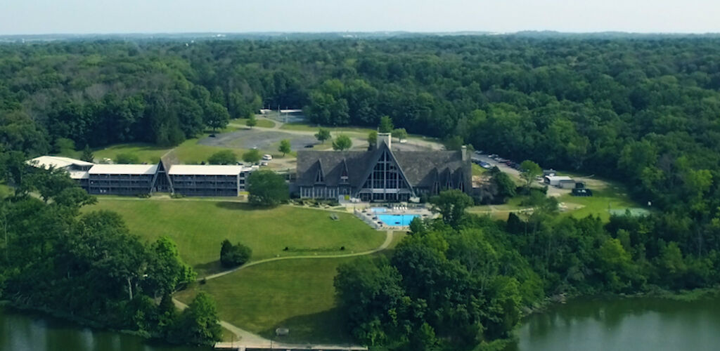
Throughout the 1960s, development continued at Hueston Woods with the addition of campgrounds, cottages, lodge, marina, and golf course.
Hueston Woods Lodge
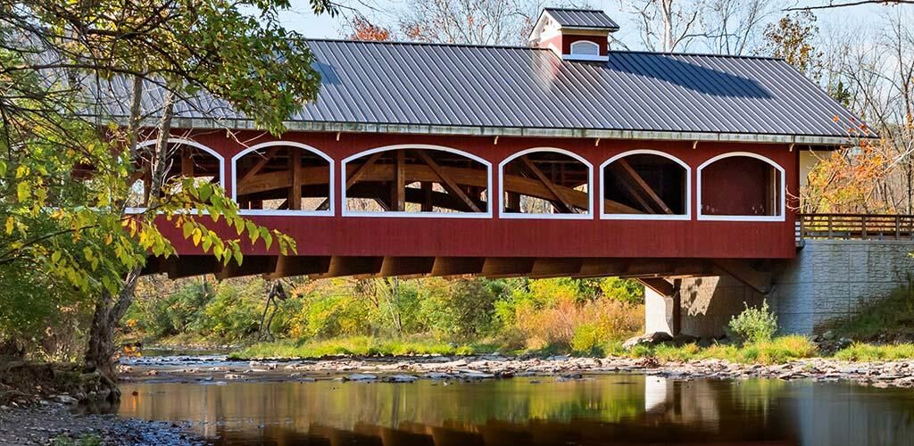
Covered Bridge in Hueston Woods
Hueston Woods Dam
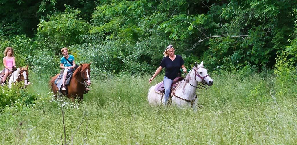
Horseback Trails ( rentals available) rentals available)
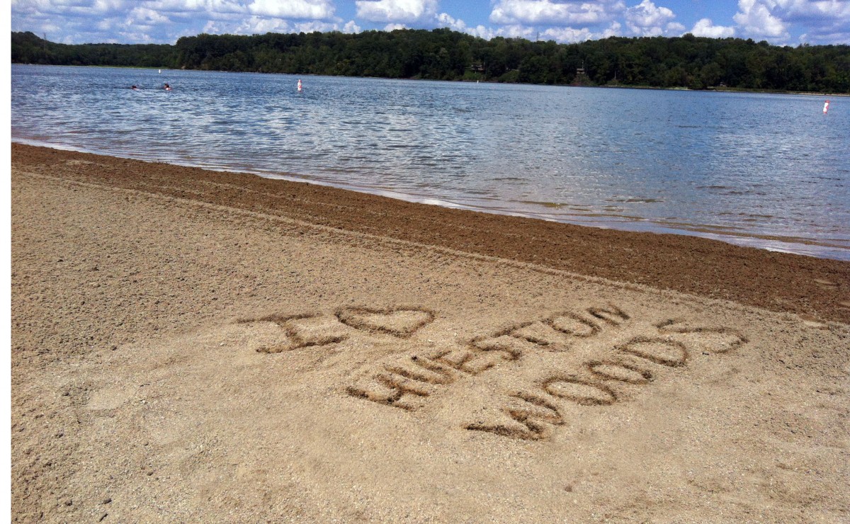
Hueston Woods Beach
Autumn at Hueston Woods

|
|


 's Staircase Pro Hillclimb.


 Caesar Creek: Family Friendly Place to Fossil Hunt


 storage.


 rentals available)

